Christchurch, Rowley Street
Introduction
The photograph on this page of Christchurch, Rowley Street by Simon Huguet as part of the Geograph project.
The Geograph project started in 2005 with the aim of publishing, organising and preserving representative images for every square kilometre of Great Britain, Ireland and the Isle of Man.

There are currently over 7.5m images from over 14,400 individuals and you can help contribute to the project by visiting https://www.geograph.org.uk
Christchurch, Rowley Street
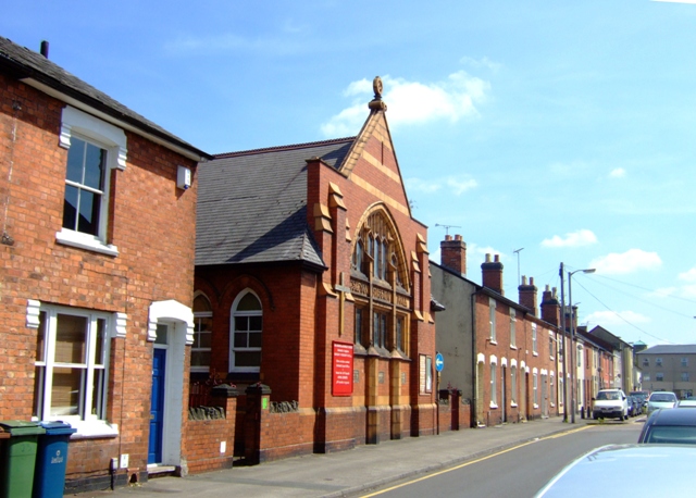
Image: © Simon Huguet Taken: 26 Jul 2008
Formerly a Wesleyan Mission Hall built for the shoe factory workers who lived in the terraced streets around it this C19th church is now shared by the Stafford Team Ministry [Church of England] and the Methodists.
Images are licensed for reuse under creativecommons.org/licenses/by-sa/2.0
Image Location
Latitude
52.815819
Longitude
-2.120734