Dock Street, Whitechapel
Introduction
The photograph on this page of Dock Street, Whitechapel by Stephen McKay as part of the Geograph project.
The Geograph project started in 2005 with the aim of publishing, organising and preserving representative images for every square kilometre of Great Britain, Ireland and the Isle of Man.

There are currently over 7.5m images from over 14,400 individuals and you can help contribute to the project by visiting https://www.geograph.org.uk
Dock Street, Whitechapel
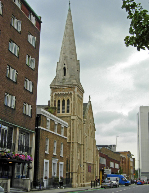
Image: © Stephen McKay Taken: 25 Jul 2008
St Paul's church dominates the street, although it ceased to be used as a church in 1990 and is now a children's nursery. The elegant house to the left of it, no 11, is late Georgian and was designed by Henry Roberts as the vicarage for St Paul's.
Images are licensed for reuse under creativecommons.org/licenses/by-sa/2.0
Image Location
Latitude
51.510022
Longitude
-0.067724