Farm at beginning of Dooley's Lane, Morley
Introduction
The photograph on this page of Farm at beginning of Dooley's Lane, Morley by Ian Warburton as part of the Geograph project.
The Geograph project started in 2005 with the aim of publishing, organising and preserving representative images for every square kilometre of Great Britain, Ireland and the Isle of Man.

There are currently over 7.5m images from over 14,400 individuals and you can help contribute to the project by visiting https://www.geograph.org.uk
Farm at beginning of Dooley's Lane, Morley
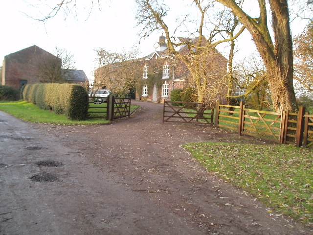
Image: © Ian Warburton Taken: 11 Dec 2005
Dooley's Lane leads to the Bollin Valley footpath.
Images are licensed for reuse under creativecommons.org/licenses/by-sa/2.0
Image Location


Leaflet Map data © OpenStreetMap
Latitude
53.339096
Longitude
-2.270291