Becton Lane towards Barton Common
Introduction
The photograph on this page of Becton Lane towards Barton Common by Hugh Craddock as part of the Geograph project.
The Geograph project started in 2005 with the aim of publishing, organising and preserving representative images for every square kilometre of Great Britain, Ireland and the Isle of Man.

There are currently over 7.5m images from over 14,400 individuals and you can help contribute to the project by visiting https://www.geograph.org.uk
Becton Lane towards Barton Common
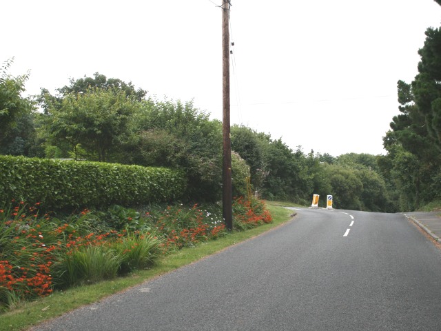
Image: © Hugh Craddock Taken: 25 Jul 2008
Beyond the junction, ahead, with Barton Common Road, is Barton Common, a 19 ha common on the outskirts of Barton on Sea managed by New Milton Town Council.
Images are licensed for reuse under creativecommons.org/licenses/by-sa/2.0
Image Location
Latitude
50.738076
Longitude
-1.653322