Hills of Bendochy
Introduction
The photograph on this page of Hills of Bendochy by Mike Pennington as part of the Geograph project.
The Geograph project started in 2005 with the aim of publishing, organising and preserving representative images for every square kilometre of Great Britain, Ireland and the Isle of Man.

There are currently over 7.5m images from over 14,400 individuals and you can help contribute to the project by visiting https://www.geograph.org.uk
Hills of Bendochy
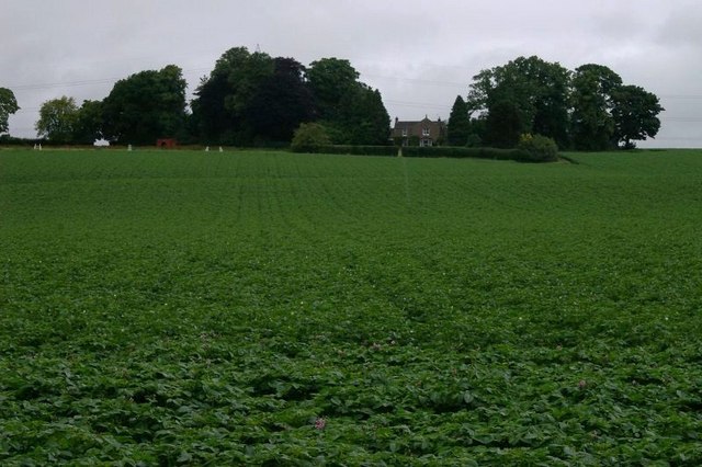
Image: © Mike Pennington Taken: 18 Jul 2008
Farm amidst potato fields on the north bank of the Isla.
Images are licensed for reuse under creativecommons.org/licenses/by-sa/2.0
Image Location
Latitude
56.559279
Longitude
-3.292444