Back Lane, Claydon
Introduction
The photograph on this page of Back Lane, Claydon by Andrew Hill as part of the Geograph project.
The Geograph project started in 2005 with the aim of publishing, organising and preserving representative images for every square kilometre of Great Britain, Ireland and the Isle of Man.

There are currently over 7.5m images from over 14,400 individuals and you can help contribute to the project by visiting https://www.geograph.org.uk
Back Lane, Claydon
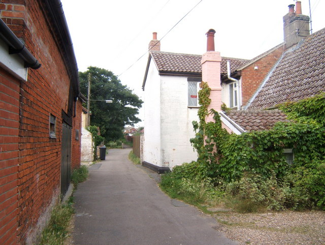
Image: © Andrew Hill Taken: 25 Jul 2008
A narrow lane with no access for traffic. At least directions via googlemaps no longer suggest motorists should go this way.
Images are licensed for reuse under creativecommons.org/licenses/by-sa/2.0
Image Location


Leaflet Map data © OpenStreetMap
Latitude
52.106943
Longitude
1.112022