Huthwaite
Introduction
The photograph on this page of Huthwaite by Wendy North as part of the Geograph project.
The Geograph project started in 2005 with the aim of publishing, organising and preserving representative images for every square kilometre of Great Britain, Ireland and the Isle of Man.

There are currently over 7.5m images from over 14,400 individuals and you can help contribute to the project by visiting https://www.geograph.org.uk
Huthwaite
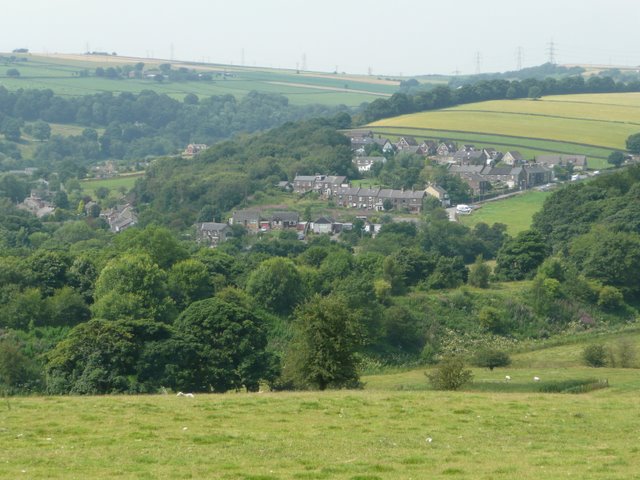
Image: © Wendy North Taken: 25 Jul 2008
Huthwaite - view from the sheep field, just below A629. (Foreshortened image because of telephoto lens).
Images are licensed for reuse under creativecommons.org/licenses/by-sa/2.0
Image Location
Latitude
53.497712
Longitude
-1.56582