Crossing the sheep field - view to Greenmoor
Introduction
The photograph on this page of Crossing the sheep field - view to Greenmoor by Wendy North as part of the Geograph project.
The Geograph project started in 2005 with the aim of publishing, organising and preserving representative images for every square kilometre of Great Britain, Ireland and the Isle of Man.

There are currently over 7.5m images from over 14,400 individuals and you can help contribute to the project by visiting https://www.geograph.org.uk
Crossing the sheep field - view to Greenmoor
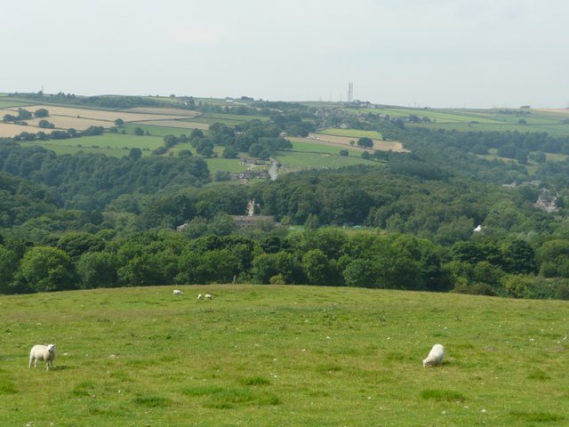
Image: © Wendy North Taken: 25 Jul 2008
The River Don flows along the valley bottom. This is a rather foreshortened image because of the effect of the telephoto lens. The road across the valley goes to Green Moor and then drops down towards the Stocksbridge bypass.
Images are licensed for reuse under creativecommons.org/licenses/by-sa/2.0
Image Location
Latitude
53.494283
Longitude
-1.562238