Haste Hill Wood
Introduction
The photograph on this page of Haste Hill Wood by David Squire as part of the Geograph project.
The Geograph project started in 2005 with the aim of publishing, organising and preserving representative images for every square kilometre of Great Britain, Ireland and the Isle of Man.

There are currently over 7.5m images from over 14,400 individuals and you can help contribute to the project by visiting https://www.geograph.org.uk
Haste Hill Wood
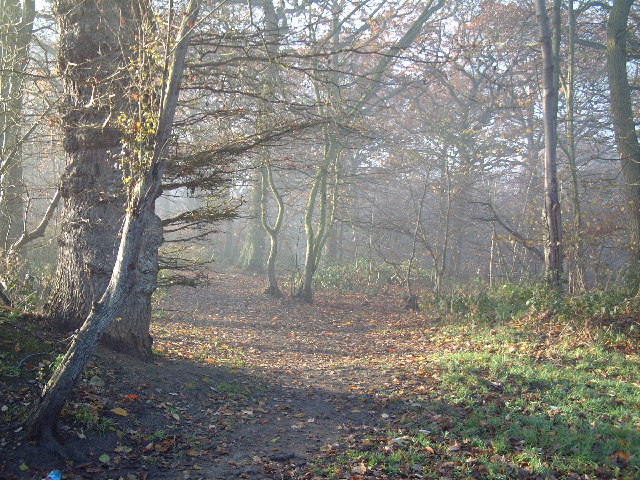
Image: © David Squire Taken: 11 Dec 2005
This is a view from the top of Wiltshire Lane. Just to the left of the photograph is the location of the former St Vincent's Orthopaedic Hospital which is now a construction site.
Images are licensed for reuse under creativecommons.org/licenses/by-sa/2.0
Image Location
Latitude
51.595494
Longitude
-0.419127