Porthminster Point
Introduction
The photograph on this page of Porthminster Point by Pierre Terre as part of the Geograph project.
The Geograph project started in 2005 with the aim of publishing, organising and preserving representative images for every square kilometre of Great Britain, Ireland and the Isle of Man.

There are currently over 7.5m images from over 14,400 individuals and you can help contribute to the project by visiting https://www.geograph.org.uk
Porthminster Point
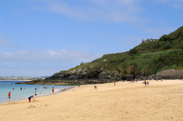
Image: © Pierre Terre Taken: 22 Jul 2008
Seen from the southern end of Porthminster Beach. Carbis Bay is hidden round the corner, with the dunes on the far side of St Ives Bay near Hayle visible in the background.
Images are licensed for reuse under creativecommons.org/licenses/by-sa/2.0
Image Location


Leaflet Map data © OpenStreetMap
Latitude
50.207566
Longitude
-5.471034