Dartmouth Park Road, Dartmouth Park
Introduction
The photograph on this page of Dartmouth Park Road, Dartmouth Park by Stephen McKay as part of the Geograph project.
The Geograph project started in 2005 with the aim of publishing, organising and preserving representative images for every square kilometre of Great Britain, Ireland and the Isle of Man.

There are currently over 7.5m images from over 14,400 individuals and you can help contribute to the project by visiting https://www.geograph.org.uk
Dartmouth Park Road, Dartmouth Park
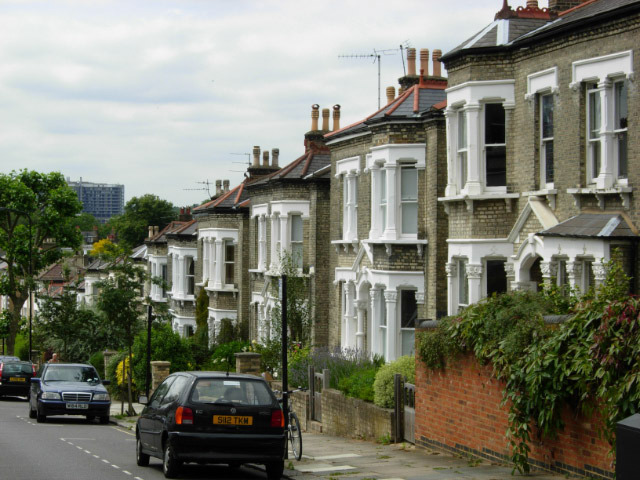
Image: © Stephen McKay Taken: 22 Jul 2008
Dartmouth Park Road falls away fairly steeply from its junction with Dartmouth Park Hill, away from the high ground on which Highgate is built. The Royal Free Hospital is visible in the distance.
Images are licensed for reuse under creativecommons.org/licenses/by-sa/2.0
Image Location
Latitude
51.55987
Longitude
-0.14193