Buckinghamshire Farmland
Introduction
The photograph on this page of Buckinghamshire Farmland by Rob Farrow as part of the Geograph project.
The Geograph project started in 2005 with the aim of publishing, organising and preserving representative images for every square kilometre of Great Britain, Ireland and the Isle of Man.

There are currently over 7.5m images from over 14,400 individuals and you can help contribute to the project by visiting https://www.geograph.org.uk
Buckinghamshire Farmland
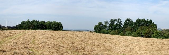
Image: © Rob Farrow Taken: 24 Jul 2008
The wood on the left is Freemasons Wood next to Norduck Farm, but I can't find a name for the one on the right. This view was taken from the bridleway that crosses this field.
Images are licensed for reuse under creativecommons.org/licenses/by-sa/2.0
Image Location
Latitude
51.875351
Longitude
-0.784849