Marsh Farm Cottage
Introduction
The photograph on this page of Marsh Farm Cottage by Ian Capper as part of the Geograph project.
The Geograph project started in 2005 with the aim of publishing, organising and preserving representative images for every square kilometre of Great Britain, Ireland and the Isle of Man.

There are currently over 7.5m images from over 14,400 individuals and you can help contribute to the project by visiting https://www.geograph.org.uk
Marsh Farm Cottage
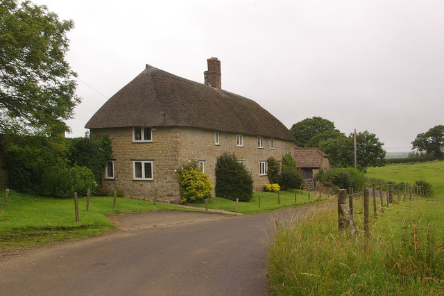
Image: © Ian Capper Taken: 15 Jul 2008
Grade II listed early 19th century pair of semi detached cottages, shown on maps as Marsh Farm Cottage but on listing details as Marshwood and Marsh End.
Images are licensed for reuse under creativecommons.org/licenses/by-sa/2.0
Image Location


Leaflet Map data © OpenStreetMap
Latitude
50.801558
Longitude
-2.709227