Mill Lane, Clanfield
Introduction
The photograph on this page of Mill Lane, Clanfield by Brian Robert Marshall as part of the Geograph project.
The Geograph project started in 2005 with the aim of publishing, organising and preserving representative images for every square kilometre of Great Britain, Ireland and the Isle of Man.

There are currently over 7.5m images from over 14,400 individuals and you can help contribute to the project by visiting https://www.geograph.org.uk
Mill Lane, Clanfield
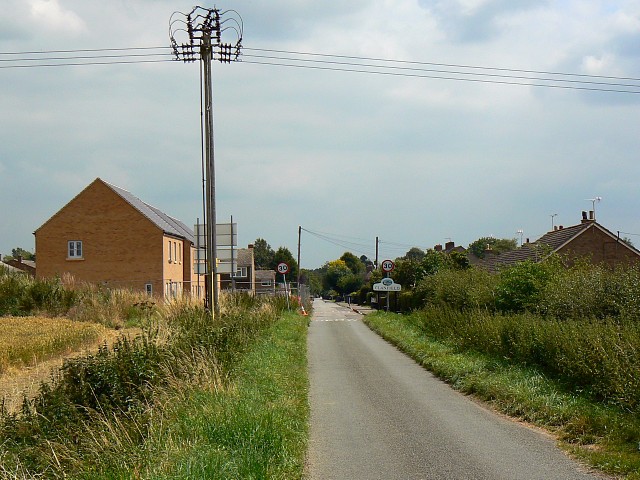
Image: © Brian Robert Marshall Taken: 23 Jul 2008
The electricity pole sits about 2 metres outside the square. The houses on the left are being built for a housing association. They don't show on the maps and the Google plane hasn't been over since construction started. Update 15 September 2008: These houses have had to be demolished because '[builders] drilled down into the water table causing the ground to fill with moisture and rise dramatically.' (Oxford Mail)
Images are licensed for reuse under creativecommons.org/licenses/by-sa/2.0
Image Location


Leaflet Map data © OpenStreetMap
Latitude
51.713788
Longitude
-1.596273