St Andrew's Church from Burnhead Road
Introduction
The photograph on this page of St Andrew's Church from Burnhead Road by Nora Brown as part of the Geograph project.
The Geograph project started in 2005 with the aim of publishing, organising and preserving representative images for every square kilometre of Great Britain, Ireland and the Isle of Man.

There are currently over 7.5m images from over 14,400 individuals and you can help contribute to the project by visiting https://www.geograph.org.uk
St Andrew's Church from Burnhead Road
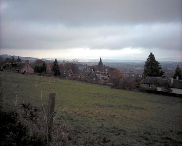
Image: © Nora Brown Taken: 10 Nov 2002
When the photograph was taken, this was St Andrew's Church. Now that St Mary's-South Church has closed, St Andrew's is the only Church of Scotland church in Blairgowrie and hence is the parish church. The field in the foreground is at the top of Newton Street and, before climate change, was much in use in snowy weather as a sledging field, due to its slope. It will probably soon be built over, as are most green spaces in the town.
Images are licensed for reuse under creativecommons.org/licenses/by-sa/2.0
Image Location
Latitude
56.593437
Longitude
-3.341816