Sign by track to Kirton Lodge, with wheat field and woodland beyond
Introduction
The photograph on this page of Sign by track to Kirton Lodge, with wheat field and woodland beyond by Andrew Hill as part of the Geograph project.
The Geograph project started in 2005 with the aim of publishing, organising and preserving representative images for every square kilometre of Great Britain, Ireland and the Isle of Man.

There are currently over 7.5m images from over 14,400 individuals and you can help contribute to the project by visiting https://www.geograph.org.uk
Sign by track to Kirton Lodge, with wheat field and woodland beyond
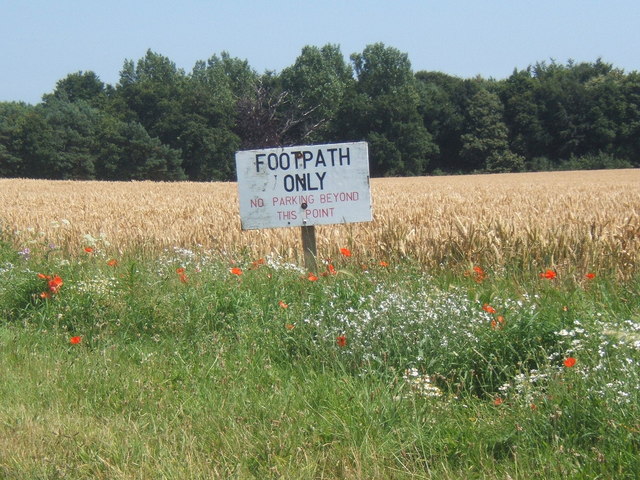
Image: © Andrew Hill Taken: 23 Jul 2008
The woodland is called The Belt on 1:25,000 OS map.
Images are licensed for reuse under creativecommons.org/licenses/by-sa/2.0
Image Location
Latitude
52.019418
Longitude
1.326358