The former Hare and Hounds pub
Introduction
The photograph on this page of The former Hare and Hounds pub by Nick Smith as part of the Geograph project.
The Geograph project started in 2005 with the aim of publishing, organising and preserving representative images for every square kilometre of Great Britain, Ireland and the Isle of Man.

There are currently over 7.5m images from over 14,400 individuals and you can help contribute to the project by visiting https://www.geograph.org.uk
The former Hare and Hounds pub
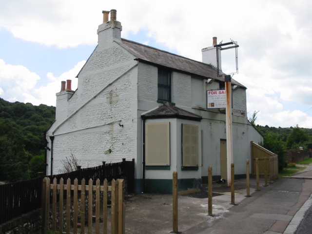
Image: © Nick Smith Taken: 20 Jul 2008
Another pub gone- http://www.dovergrammar.co.uk/ARCHIVE-PUBS/Hare-and-Hounds.html I didn't know the name of the pub but looked on the planning portal web site http://www.planningportal.gov.uk/planningportal and found the 'house' number then looked up 435 Folkestone Road and found a planning application for the Hare and Hounds.
Images are licensed for reuse under creativecommons.org/licenses/by-sa/2.0
Image Location
Latitude
51.118384
Longitude
1.285905