Radlett: Tykes Water
Introduction
The photograph on this page of Radlett: Tykes Water by Nigel Cox as part of the Geograph project.
The Geograph project started in 2005 with the aim of publishing, organising and preserving representative images for every square kilometre of Great Britain, Ireland and the Isle of Man.

There are currently over 7.5m images from over 14,400 individuals and you can help contribute to the project by visiting https://www.geograph.org.uk
Radlett: Tykes Water
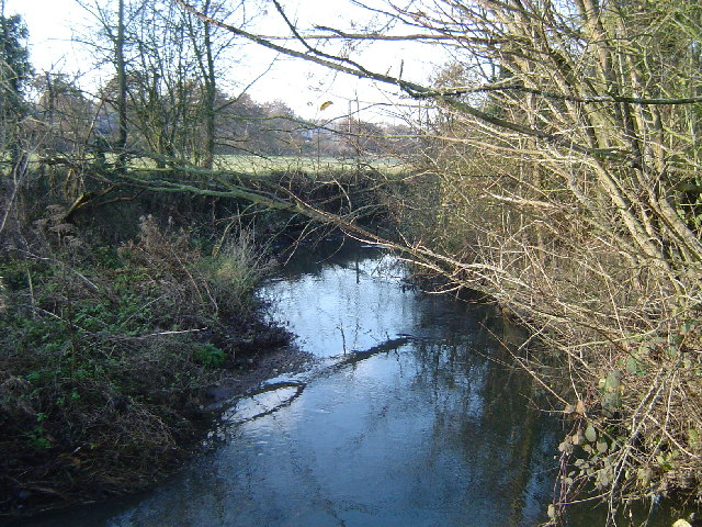
Image: © Nigel Cox Taken: 10 Dec 2005
Flowing purposefully northwards here towards Yorkshire, this stream is however in Hertfordshire and, after merging with the River Colne about 4 kilometres downstream from here, and making a 180 degree turn, the water will eventually flow southwards to the River Thames.
Images are licensed for reuse under creativecommons.org/licenses/by-sa/2.0
Image Location


Leaflet Map data © OpenStreetMap
Latitude
51.672072
Longitude
-0.300766