Mill Lane, Clanfield
Introduction
The photograph on this page of Mill Lane, Clanfield by Brian Robert Marshall as part of the Geograph project.
The Geograph project started in 2005 with the aim of publishing, organising and preserving representative images for every square kilometre of Great Britain, Ireland and the Isle of Man.

There are currently over 7.5m images from over 14,400 individuals and you can help contribute to the project by visiting https://www.geograph.org.uk
Mill Lane, Clanfield
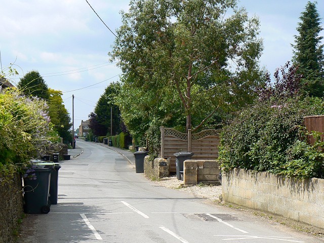
Image: © Brian Robert Marshall Taken: 23 Jul 2008
The lane heads towards the west from the viewpoint eventually reaching Little Clanfield about 1.5 kilometres away.
Images are licensed for reuse under creativecommons.org/licenses/by-sa/2.0
Image Location


Leaflet Map data © OpenStreetMap
Latitude
51.713136
Longitude
-1.58991