Farm Buildings on Alfriston Road, Seaford.
Introduction
The photograph on this page of Farm Buildings on Alfriston Road, Seaford. by Kevin Gordon as part of the Geograph project.
The Geograph project started in 2005 with the aim of publishing, organising and preserving representative images for every square kilometre of Great Britain, Ireland and the Isle of Man.

There are currently over 7.5m images from over 14,400 individuals and you can help contribute to the project by visiting https://www.geograph.org.uk
Farm Buildings on Alfriston Road, Seaford.
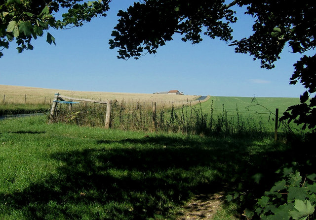
Image: © Kevin Gordon Taken: 22 Jul 2008
The road is known locally as the White Way probably as it was cut through the underlying chalk.
Images are licensed for reuse under creativecommons.org/licenses/by-sa/2.0
Image Location


Leaflet Map data © OpenStreetMap
Latitude
50.788264
Longitude
0.136891