Saxon Way, Bar Hill, Cambs
Introduction
The photograph on this page of Saxon Way, Bar Hill, Cambs by Rodney Burton as part of the Geograph project.
The Geograph project started in 2005 with the aim of publishing, organising and preserving representative images for every square kilometre of Great Britain, Ireland and the Isle of Man.

There are currently over 7.5m images from over 14,400 individuals and you can help contribute to the project by visiting https://www.geograph.org.uk
Saxon Way, Bar Hill, Cambs
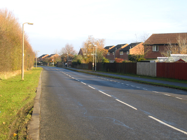
Image: © Rodney Burton Taken: 10 Dec 2005
Saxon Way skirts the western part of the settlement, just south of the A14 road; the belt of trees (left) separates the housing estates from the open countryside and village of Lolworth.
Images are licensed for reuse under creativecommons.org/licenses/by-sa/2.0
Image Location


Leaflet Map data © OpenStreetMap
Latitude
52.249895
Longitude
0.010646