Ringsbury Camp, near Purton
Introduction
The photograph on this page of Ringsbury Camp, near Purton by Brian Robert Marshall as part of the Geograph project.
The Geograph project started in 2005 with the aim of publishing, organising and preserving representative images for every square kilometre of Great Britain, Ireland and the Isle of Man.

There are currently over 7.5m images from over 14,400 individuals and you can help contribute to the project by visiting https://www.geograph.org.uk
Ringsbury Camp, near Purton
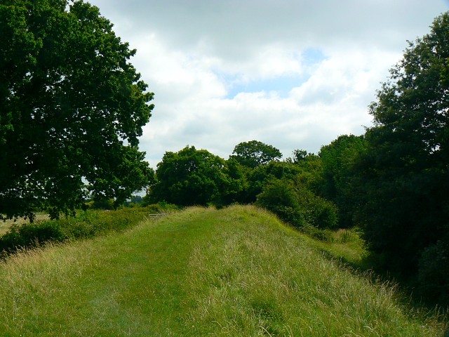
Image: © Brian Robert Marshall Taken: 22 Jul 2008
This is a view facing south along the eastern boundary of the camp. The inner ditch is to the right. The camp has been dated to around 50 BC according to wiki http://en.wikipedia.org/wiki/Ringsbury_Camp
Images are licensed for reuse under creativecommons.org/licenses/by-sa/2.0
Image Location
Latitude
51.579652
Longitude
-1.891573