Ringsbury Camp, near Purton
Introduction
The photograph on this page of Ringsbury Camp, near Purton by Brian Robert Marshall as part of the Geograph project.
The Geograph project started in 2005 with the aim of publishing, organising and preserving representative images for every square kilometre of Great Britain, Ireland and the Isle of Man.

There are currently over 7.5m images from over 14,400 individuals and you can help contribute to the project by visiting https://www.geograph.org.uk
Ringsbury Camp, near Purton
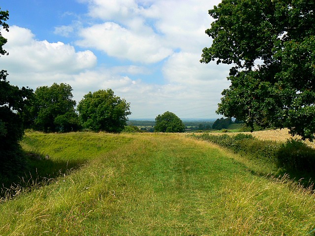
Image: © Brian Robert Marshall Taken: 22 Jul 2008
Ringsbury Camp is a multivallate Iron Age hill-fort. In this north-facing view we can see the eastern part of the embankment. More here in wiki http://en.wikipedia.org/wiki/Ringsbury_Camp I haven't been able to find any other images of Ringsbury Camp on the web.
Images are licensed for reuse under creativecommons.org/licenses/by-sa/2.0
Image Location
Latitude
51.580461
Longitude
-1.891426