Tudor Close, Ferringham Lane
Introduction
The photograph on this page of Tudor Close, Ferringham Lane by Simon Carey as part of the Geograph project.
The Geograph project started in 2005 with the aim of publishing, organising and preserving representative images for every square kilometre of Great Britain, Ireland and the Isle of Man.

There are currently over 7.5m images from over 14,400 individuals and you can help contribute to the project by visiting https://www.geograph.org.uk
Tudor Close, Ferringham Lane
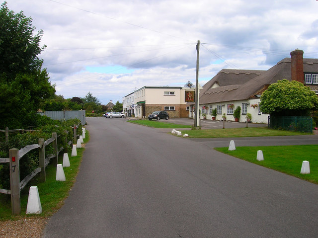
Image: © Simon Carey Taken: 20 Jul 2008
A public house and restaurant in southern Ferring. Originally constructed as a barn and cow sheds in the early 18th century it was converted into residence in the early 20th. It later became the Tudor Close Prep School for Boys, served as an officers mess for the Canadian Army before becoming a pub in 1947. Beyond it is a small row of shops in Ocean Parade.
Images are licensed for reuse under creativecommons.org/licenses/by-sa/2.0
Image Location
Latitude
50.80664
Longitude
-0.451294