The Street, Lydiard Millicent
Introduction
The photograph on this page of The Street, Lydiard Millicent by Brian Robert Marshall as part of the Geograph project.
The Geograph project started in 2005 with the aim of publishing, organising and preserving representative images for every square kilometre of Great Britain, Ireland and the Isle of Man.

There are currently over 7.5m images from over 14,400 individuals and you can help contribute to the project by visiting https://www.geograph.org.uk
The Street, Lydiard Millicent
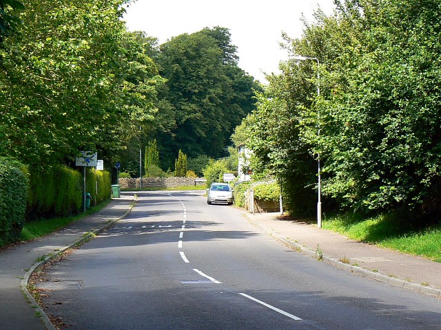
Image: © Brian Robert Marshall Taken: 22 Jul 2008
The main road through the village from nearby Swindon leads to the junction in the centre of the image where one turns right for Purton.
Images are licensed for reuse under creativecommons.org/licenses/by-sa/2.0
Image Location
Latitude
51.572612
Longitude
-1.865473