Ferring Rife
Introduction
The photograph on this page of Ferring Rife by Simon Carey as part of the Geograph project.
The Geograph project started in 2005 with the aim of publishing, organising and preserving representative images for every square kilometre of Great Britain, Ireland and the Isle of Man.

There are currently over 7.5m images from over 14,400 individuals and you can help contribute to the project by visiting https://www.geograph.org.uk
Ferring Rife
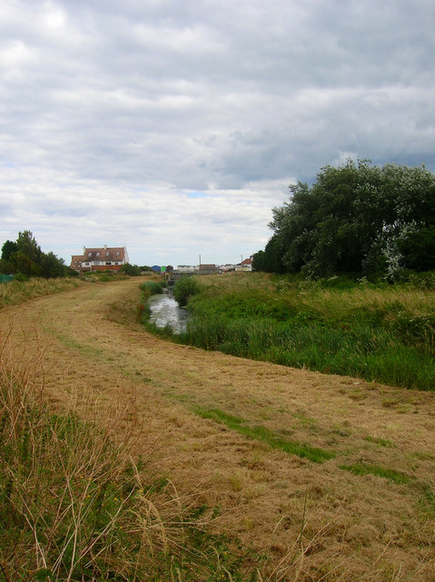
Image: © Simon Carey Taken: 20 Jul 2008
Rife is the local name given to a stream in the coastal plain between Ferring and Pagham Harbour. This view looks down the well embanked watercourse towards its sluice just north of the Blue Bird Cafe.
Images are licensed for reuse under creativecommons.org/licenses/by-sa/2.0
Image Location
Latitude
50.803236
Longitude
-0.452258