Cliff Park Close, Peacehaven
Introduction
The photograph on this page of Cliff Park Close, Peacehaven by Kevin Gordon as part of the Geograph project.
The Geograph project started in 2005 with the aim of publishing, organising and preserving representative images for every square kilometre of Great Britain, Ireland and the Isle of Man.

There are currently over 7.5m images from over 14,400 individuals and you can help contribute to the project by visiting https://www.geograph.org.uk
Cliff Park Close, Peacehaven
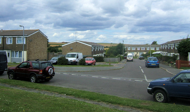
Image: © Kevin Gordon Taken: 20 Jul 2008
This is a close off Downland Avenue. The hills at Nore Down can be seen in the background.
Images are licensed for reuse under creativecommons.org/licenses/by-sa/2.0
Image Location
Latitude
50.792947
Longitude
0.020466