Wheatfield near Broadmayne
Introduction
The photograph on this page of Wheatfield near Broadmayne by Nigel Mykura as part of the Geograph project.
The Geograph project started in 2005 with the aim of publishing, organising and preserving representative images for every square kilometre of Great Britain, Ireland and the Isle of Man.

There are currently over 7.5m images from over 14,400 individuals and you can help contribute to the project by visiting https://www.geograph.org.uk
Wheatfield near Broadmayne
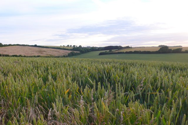
Image: © Nigel Mykura Taken: 22 Jul 2008
This field is just off the minor road known as Chalky Road that leads from Broadmayne south west to the ridgeway.
Images are licensed for reuse under creativecommons.org/licenses/by-sa/2.0
Image Location
Latitude
50.672246
Longitude
-2.40326