Verwood centre
Introduction
The photograph on this page of Verwood centre by Stuart Buchan as part of the Geograph project.
The Geograph project started in 2005 with the aim of publishing, organising and preserving representative images for every square kilometre of Great Britain, Ireland and the Isle of Man.

There are currently over 7.5m images from over 14,400 individuals and you can help contribute to the project by visiting https://www.geograph.org.uk
Verwood centre
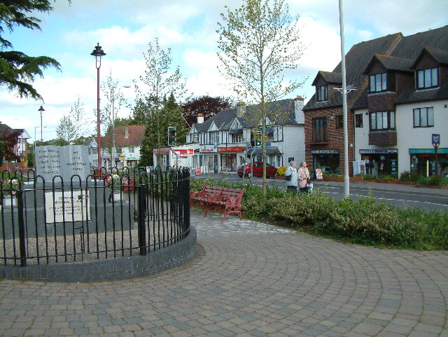
Image: © Stuart Buchan Taken: 11 May 2005
Some people think the name derives from 'Fayre wood' from the many trees in the area. In the 1960's and 70's many new estates sprang up and by the 1990's it was feared that over development could take place.
Images are licensed for reuse under creativecommons.org/licenses/by-sa/2.0
Image Location


Leaflet Map data © OpenStreetMap
Latitude
50.88133
Longitude
-1.879125