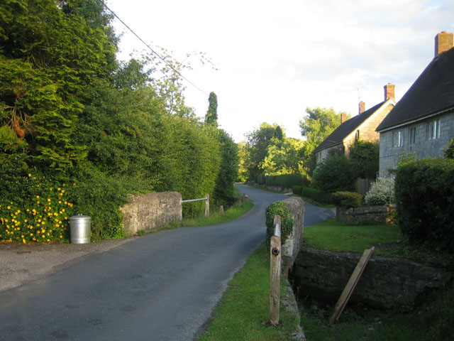
The Street, Chilmark
Introduction
The photograph on this page of The Street, Chilmark by Andy Gryce as part of the Geograph project.
The Geograph project started in 2005 with the aim of publishing, organising and preserving representative images for every square kilometre of Great Britain, Ireland and the Isle of Man.
There are currently over 7.5m images from over 14,400 individuals and you can help contribute to the project by visiting https://www.geograph.org.uk

Image: © Andy Gryce Taken: 29 Jun 2007
The Street is the main street of the village of Chilmark off which lies the church, school, and innumerable stone-built and often thatched cottages. Here, halfway along the street and looking south-east, there is a small bridge over the currently dried up stream that runs through the village. The northern end of the street near the village church, and behind the camera, is in the next grid square. The Street is quiet because the main road, the B3089 from Salisbury to Hindon, runs east-west through the north side of the village. The name Chilmark comes from the Anglo-Saxon, 'cild' for child, or 'cigel', a pole or peg, and 'mearc' meaning boundary. For more information about the history of Chilmark, see http://www.nadderfocus.com/Villages/Chilmark/chil1.htm#history. Stone from the nearby Chilmark quarries was used in the building of both the cathedral at Old Sarum and the celebrated Gothic one in Salisbury, see http://www.wessexdlstone.com/history1.htm.

