Lerwick Library, formerly S. Ringan's United Free Church
Introduction
The photograph on this page of Lerwick Library, formerly S. Ringan's United Free Church by Ruth Sharville as part of the Geograph project.
The Geograph project started in 2005 with the aim of publishing, organising and preserving representative images for every square kilometre of Great Britain, Ireland and the Isle of Man.

There are currently over 7.5m images from over 14,400 individuals and you can help contribute to the project by visiting https://www.geograph.org.uk
Lerwick Library, formerly S. Ringan's United Free Church
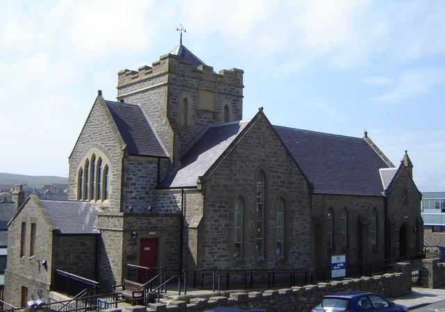
Image: © Ruth Sharville Taken: 1 Jul 2008
I have categorised this as a church - for as a landmark that is what it looks like! I noticed it is not marked on the 1:50,000 or the 1:25,000 OS maps as a church.
Images are licensed for reuse under creativecommons.org/licenses/by-sa/2.0
Image Location
Latitude
60.153167
Longitude
-1.146982