Aylesbury: Pebble Lane
Introduction
The photograph on this page of Aylesbury: Pebble Lane by Nigel Cox as part of the Geograph project.
The Geograph project started in 2005 with the aim of publishing, organising and preserving representative images for every square kilometre of Great Britain, Ireland and the Isle of Man.

There are currently over 7.5m images from over 14,400 individuals and you can help contribute to the project by visiting https://www.geograph.org.uk
Aylesbury: Pebble Lane
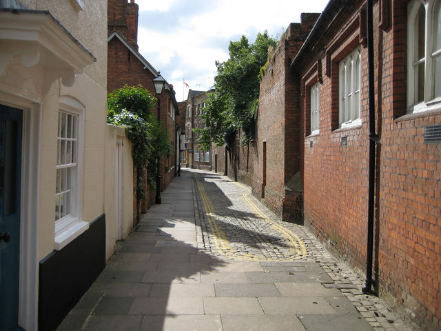
Image: © Nigel Cox Taken: 20 Jul 2008
Pebble Lane joins St Mary's Square with Kingsbury. Sadly the cobbled street is desecrated with the over-zealous use of double yellow lines. Surely there has to be a less visually distressing and more discreet way of preventing vehicles being parked along here?
Images are licensed for reuse under creativecommons.org/licenses/by-sa/2.0
Image Location
Latitude
51.81739
Longitude
-0.814554