Cheals Roundabout - showing position of topiary sign.
Introduction
The photograph on this page of Cheals Roundabout - showing position of topiary sign. by Pete Chapman as part of the Geograph project.
The Geograph project started in 2005 with the aim of publishing, organising and preserving representative images for every square kilometre of Great Britain, Ireland and the Isle of Man.

There are currently over 7.5m images from over 14,400 individuals and you can help contribute to the project by visiting https://www.geograph.org.uk
Cheals Roundabout - showing position of topiary sign.
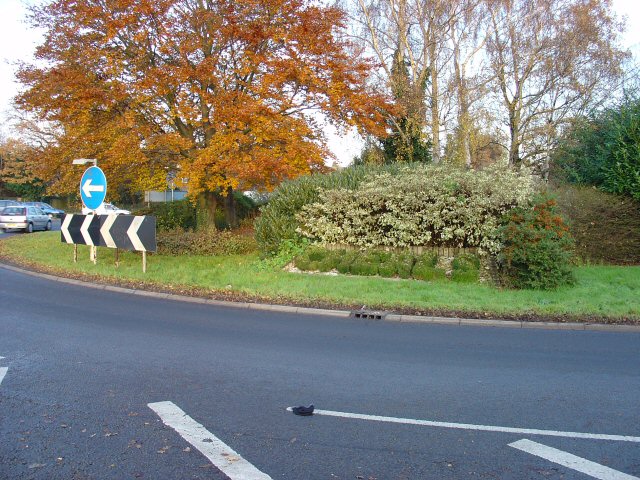
Image: © Pete Chapman Taken: 9 Dec 2005
Viewed from SW side. The topiary sign is just to the right of the black and white arrows.There are four similar floral displays on the roundabout. These have been in place for several years.
Images are licensed for reuse under creativecommons.org/licenses/by-sa/2.0
Image Location


Leaflet Map data © OpenStreetMap
Latitude
51.105904
Longitude
-0.204476