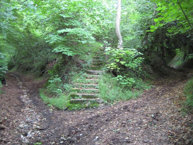
Plomer's Green: Junction of bridleway and footpath to Downley
Introduction
The photograph on this page of Plomer's Green: Junction of bridleway and footpath to Downley by Nigel Cox as part of the Geograph project.
The Geograph project started in 2005 with the aim of publishing, organising and preserving representative images for every square kilometre of Great Britain, Ireland and the Isle of Man.
There are currently over 7.5m images from over 14,400 individuals and you can help contribute to the project by visiting https://www.geograph.org.uk

Image: © Nigel Cox Taken: 12 Jul 2008
The bridleway on the left goes to Downley Common, the footpath on the right to Downley. In the middle is a flight of concrete stairs that lead to... er, nowhere. Doubtless countless generations of children, not to mention impressionable adults (!), have rushed up these stairs in eager anticipation, only to have their hopes dashed. Old maps sadly offer no clues. (From a strictly Geograph point of view this junction is clearly shown in the grid square to the north Image However on all the larger scales of Ordnance Survey mapping available it is clearly in this square.)

