Downley Common
Introduction
The photograph on this page of Downley Common by Nigel Cox as part of the Geograph project.
The Geograph project started in 2005 with the aim of publishing, organising and preserving representative images for every square kilometre of Great Britain, Ireland and the Isle of Man.

There are currently over 7.5m images from over 14,400 individuals and you can help contribute to the project by visiting https://www.geograph.org.uk
Downley Common
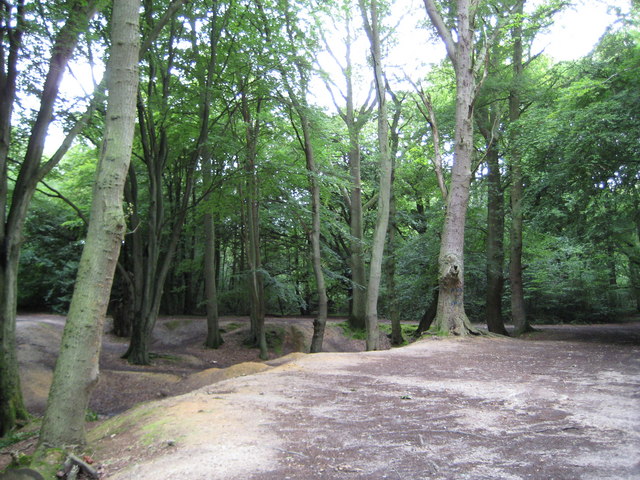
Image: © Nigel Cox Taken: 12 Jul 2008
This hollow does not appear to be natural and may have been a man-made pit, but going back to the Ordnance Survey map of 1885 it is marked then as a pond and not as a pit (disused). Whatever, it provides endless scope for entertainment for the local kids.
Images are licensed for reuse under creativecommons.org/licenses/by-sa/2.0
Image Location


Leaflet Map data © OpenStreetMap
Latitude
51.657477
Longitude
-0.775216