Naphill Common
Introduction
The photograph on this page of Naphill Common by Nigel Cox as part of the Geograph project.
The Geograph project started in 2005 with the aim of publishing, organising and preserving representative images for every square kilometre of Great Britain, Ireland and the Isle of Man.

There are currently over 7.5m images from over 14,400 individuals and you can help contribute to the project by visiting https://www.geograph.org.uk
Naphill Common
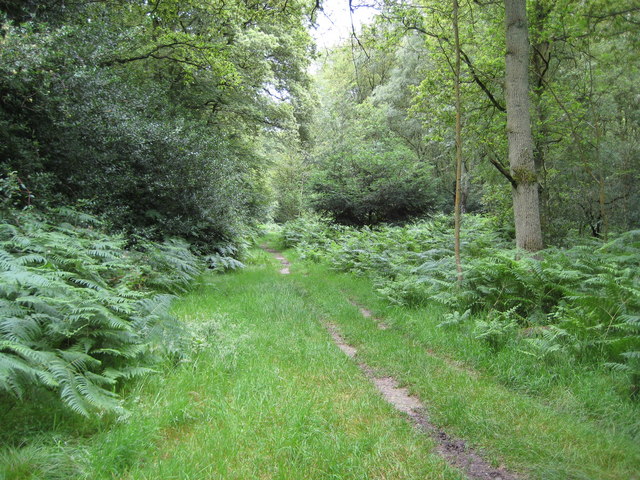
Image: © Nigel Cox Taken: 12 Jul 2008
The deciduous woodland of Naphill Common is criss-crossed by a myriad of footpaths and bridleways, each leading purposefully in different directions... The flat terrain and consequent poor drainage mean that these paths can become a touch on the muddy side after only a small amount of rainfall. My apologies are due to my very dear relatives for leading them straight into a quagmire!
Images are licensed for reuse under creativecommons.org/licenses/by-sa/2.0
Image Location
Latitude
51.665072
Longitude
-0.788025