Throop: postbox № BH8 274, Throop Road
Introduction
The photograph on this page of Throop: postbox № BH8 274, Throop Road by Chris Downer as part of the Geograph project.
The Geograph project started in 2005 with the aim of publishing, organising and preserving representative images for every square kilometre of Great Britain, Ireland and the Isle of Man.

There are currently over 7.5m images from over 14,400 individuals and you can help contribute to the project by visiting https://www.geograph.org.uk
Throop: postbox № BH8 274, Throop Road
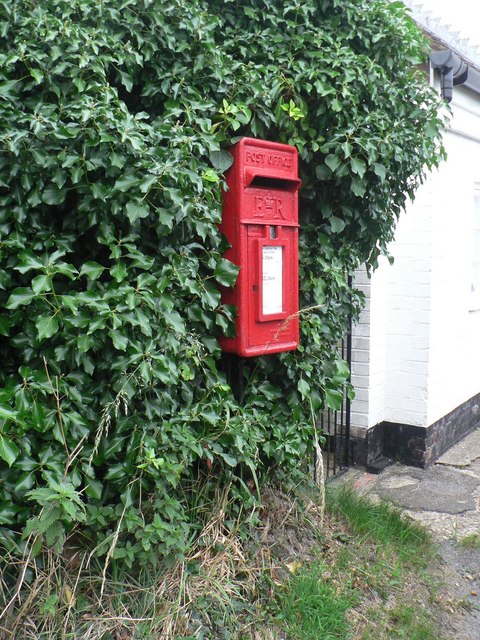
Image: © Chris Downer Taken: 18 Jul 2008
An Elizabeth II-reign postbox mounted on a post, half hidden in a hedge in Throop village.
Images are licensed for reuse under creativecommons.org/licenses/by-sa/2.0
Image Location
Latitude
50.764029
Longitude
-1.846532