Lead Miner's Cottage
Introduction
The photograph on this page of Lead Miner's Cottage by Charlie Bell as part of the Geograph project.
The Geograph project started in 2005 with the aim of publishing, organising and preserving representative images for every square kilometre of Great Britain, Ireland and the Isle of Man.

There are currently over 7.5m images from over 14,400 individuals and you can help contribute to the project by visiting https://www.geograph.org.uk
Lead Miner's Cottage
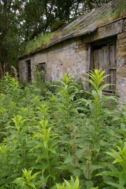
Image: © Charlie Bell Taken: 12 Jul 2008
This rural land between Hexham and Allendale was an active lead mining area in the 19th century. This derelict cottage is believed to have been a miner's residence and is close to what is now a private fishing lake.
Images are licensed for reuse under creativecommons.org/licenses/by-sa/2.0
Image Location
Latitude
54.94777
Longitude
-2.266778