Hooks Lane, Thorngumbald
Introduction
The photograph on this page of Hooks Lane, Thorngumbald by Peter Church as part of the Geograph project.
The Geograph project started in 2005 with the aim of publishing, organising and preserving representative images for every square kilometre of Great Britain, Ireland and the Isle of Man.

There are currently over 7.5m images from over 14,400 individuals and you can help contribute to the project by visiting https://www.geograph.org.uk
Hooks Lane, Thorngumbald
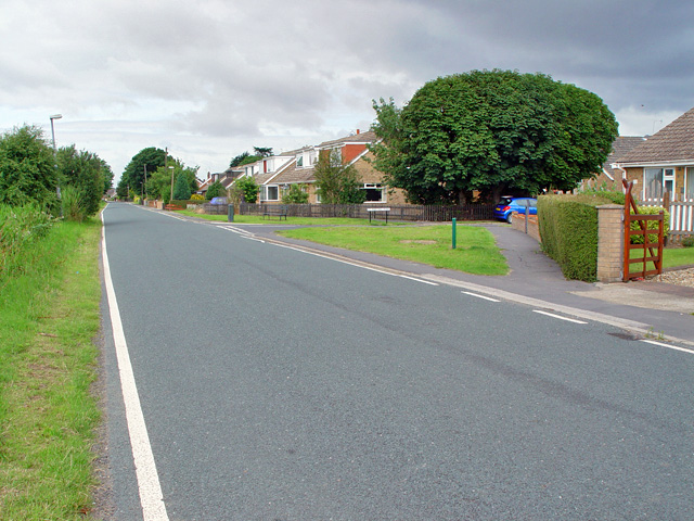
Image: © Peter Church Taken: 16 Jul 2008
The right junction is with St Martin's Road. This view is essentially west with open land to the south (see Image) and village buildings to the north.
Images are licensed for reuse under creativecommons.org/licenses/by-sa/2.0
Image Location
Latitude
53.717013
Longitude
-0.167313