Fishponds parish church
Introduction
The photograph on this page of Fishponds parish church by Natasha Ceridwen de Chroustchoff as part of the Geograph project.
The Geograph project started in 2005 with the aim of publishing, organising and preserving representative images for every square kilometre of Great Britain, Ireland and the Isle of Man.

There are currently over 7.5m images from over 14,400 individuals and you can help contribute to the project by visiting https://www.geograph.org.uk
Fishponds parish church
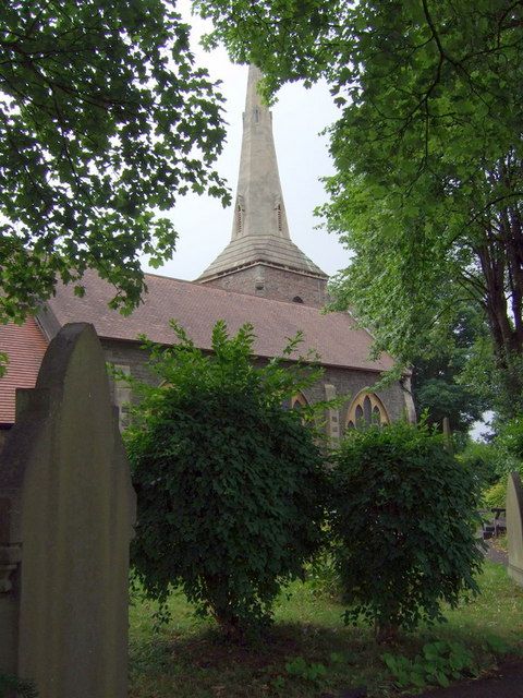
Image: © Natasha Ceridwen de Chroustchoff Taken: 15 Jul 2008
An 1847 visitor to Fishponds wrote of the spire that "they have constructed a lightning conductor, which is ingeniously carried down outside the edifice from apex to base - a somewhat singular circumstance, from which I conclude that the parish authorities - apprehensive lest the electric fluid, in envy of so fair a structure, should entertain a pointed and particular spite against the spire of Fishponds - have taken every possible means in their power to protect so sublime and symmetrical an object from the effects of "oak-cleaving thunderbolts". However since the church was upgraded from a chapel in 1869 I am not sure whether this is the same spire or not. The whole account is worth reading http://fishponds.org.uk/fish1847.html
Images are licensed for reuse under creativecommons.org/licenses/by-sa/2.0
Image Location
Latitude
51.482205
Longitude
-2.530037