Upstream from Marsh Lane Weir
Introduction
The photograph on this page of Upstream from Marsh Lane Weir by Sue Carne as part of the Geograph project.
The Geograph project started in 2005 with the aim of publishing, organising and preserving representative images for every square kilometre of Great Britain, Ireland and the Isle of Man.

There are currently over 7.5m images from over 14,400 individuals and you can help contribute to the project by visiting https://www.geograph.org.uk
Upstream from Marsh Lane Weir
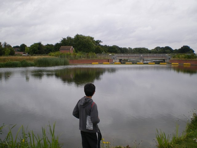
Image: © Sue Carne Taken: 17 Jul 2008
A peaceful spot just upstream from Marsh Lane Weir looking very much like a painting. The young geographer in the foreground gives an idea of scale emphasising the magnitude of the late 20th century engineering project to construct the Jubilee River.
Images are licensed for reuse under creativecommons.org/licenses/by-sa/2.0
Image Location
Latitude
51.51424
Longitude
-0.68409