Heathfield Farm Stables
Introduction
The photograph on this page of Heathfield Farm Stables by David Stowell as part of the Geograph project.
The Geograph project started in 2005 with the aim of publishing, organising and preserving representative images for every square kilometre of Great Britain, Ireland and the Isle of Man.

There are currently over 7.5m images from over 14,400 individuals and you can help contribute to the project by visiting https://www.geograph.org.uk
Heathfield Farm Stables
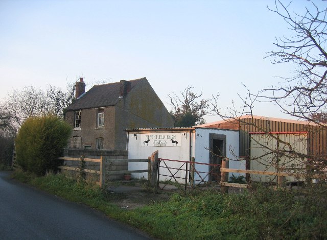
Image: © David Stowell Taken: 8 Dec 2005
The stables appear in better condition than the farmhouse, but they too now appear to be disused, presumably awaiting permission for redevelopment.
Images are licensed for reuse under creativecommons.org/licenses/by-sa/2.0
Image Location


Leaflet Map data © OpenStreetMap
Latitude
52.353095
Longitude
-1.798814