Heathfield Farm
Introduction
The photograph on this page of Heathfield Farm by David Stowell as part of the Geograph project.
The Geograph project started in 2005 with the aim of publishing, organising and preserving representative images for every square kilometre of Great Britain, Ireland and the Isle of Man.

There are currently over 7.5m images from over 14,400 individuals and you can help contribute to the project by visiting https://www.geograph.org.uk
Heathfield Farm
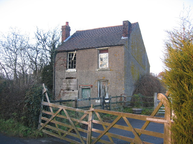
Image: © David Stowell Taken: 8 Dec 2005
It is surprising to find a derelict house in this popular commuter belt area for the West Midlands. The close proximity to the noise of the M40/M42 motorway junction and the "quaint" address - Cut Throat Lane - may have something to do with it! Nevertheless, planning permission notices were on display so it will probably not be like this for long.
Images are licensed for reuse under creativecommons.org/licenses/by-sa/2.0
Image Location


Leaflet Map data © OpenStreetMap
Latitude
52.353095
Longitude
-1.798814