St Matthew's Parish Midgham
Introduction
The photograph on this page of St Matthew's Parish Midgham by Pam Brophy as part of the Geograph project.
The Geograph project started in 2005 with the aim of publishing, organising and preserving representative images for every square kilometre of Great Britain, Ireland and the Isle of Man.

There are currently over 7.5m images from over 14,400 individuals and you can help contribute to the project by visiting https://www.geograph.org.uk
St Matthew's Parish Midgham
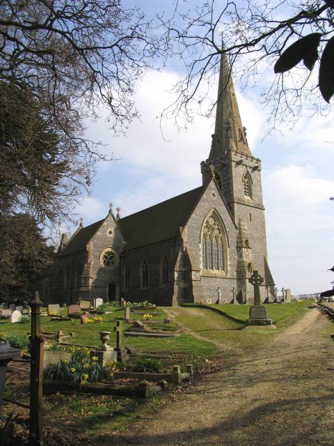
Image: © Pam Brophy Taken: 28 Mar 2005
The Church is east of the road leading Northwards from the A4. It is in the lower part of the square. The Community of Midgham is mentioned in the Domesday Book.
Images are licensed for reuse under creativecommons.org/licenses/by-sa/2.0
Image Location


Leaflet Map data © OpenStreetMap
Latitude
51.403821
Longitude
-1.20352