Coar's Lane, Belfast
Introduction
The photograph on this page of Coar's Lane, Belfast by Albert Bridge as part of the Geograph project.
The Geograph project started in 2005 with the aim of publishing, organising and preserving representative images for every square kilometre of Great Britain, Ireland and the Isle of Man.

There are currently over 7.5m images from over 14,400 individuals and you can help contribute to the project by visiting https://www.geograph.org.uk
Coar's Lane, Belfast
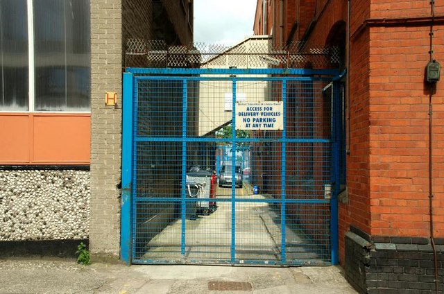
Image: © Albert Bridge Taken: 15 Jul 2008
One of narrow streets running north off Curtis Street (off York Street) towards what is now the Dunbar Link. This one has been abandoned as a public right of way and only serves as an access to adjacent buildings. A quick perusal of old Belfast Street Directories shows that the first reference is in 1861 when it had “twenty four small houses See also Image and Image
Images are licensed for reuse under creativecommons.org/licenses/by-sa/2.0
Image Location
Latitude
54.604213
Longitude
-5.928485