Thistle field
Introduction
The photograph on this page of Thistle field by Marion Phillips as part of the Geograph project.
The Geograph project started in 2005 with the aim of publishing, organising and preserving representative images for every square kilometre of Great Britain, Ireland and the Isle of Man.

There are currently over 7.5m images from over 14,400 individuals and you can help contribute to the project by visiting https://www.geograph.org.uk
Thistle field
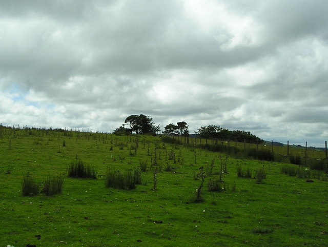
Image: © Marion Phillips Taken: 15 Jul 2008
This close-cropped pasture is grazed by sheep and is displaying a good crop of thistles and rushes. The telecommunications mast on the top of Mynydd Pencarreg can be seen between the two clumps of trees in the distance.
Images are licensed for reuse under creativecommons.org/licenses/by-sa/2.0
Image Location


Leaflet Map data © OpenStreetMap
Latitude
52.089354
Longitude
-4.04572