St Bridget's Church, Calder Bridge, St Bridget Beckermet CP, from the SW
Introduction
The photograph on this page of St Bridget's Church, Calder Bridge, St Bridget Beckermet CP, from the SW by Humphrey Bolton as part of the Geograph project.
The Geograph project started in 2005 with the aim of publishing, organising and preserving representative images for every square kilometre of Great Britain, Ireland and the Isle of Man.

There are currently over 7.5m images from over 14,400 individuals and you can help contribute to the project by visiting https://www.geograph.org.uk
St Bridget's Church, Calder Bridge, St Bridget Beckermet CP, from the SW
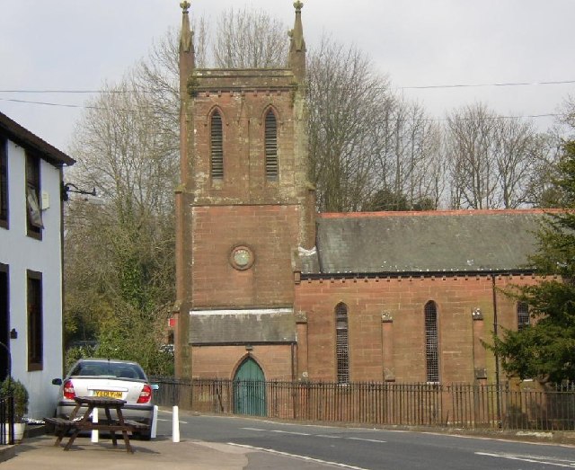
Image: © Humphrey Bolton Taken: Unknown
This view of the church is from the road junction just west of the Calder Bridge from which the village takes its name.
Images are licensed for reuse under creativecommons.org/licenses/by-sa/2.0
Image Location
Latitude
54.440327
Longitude
-3.480182