Back Lane in Haslingden
Introduction
The photograph on this page of Back Lane in Haslingden by Paul Anderson as part of the Geograph project.
The Geograph project started in 2005 with the aim of publishing, organising and preserving representative images for every square kilometre of Great Britain, Ireland and the Isle of Man.

There are currently over 7.5m images from over 14,400 individuals and you can help contribute to the project by visiting https://www.geograph.org.uk
Back Lane in Haslingden
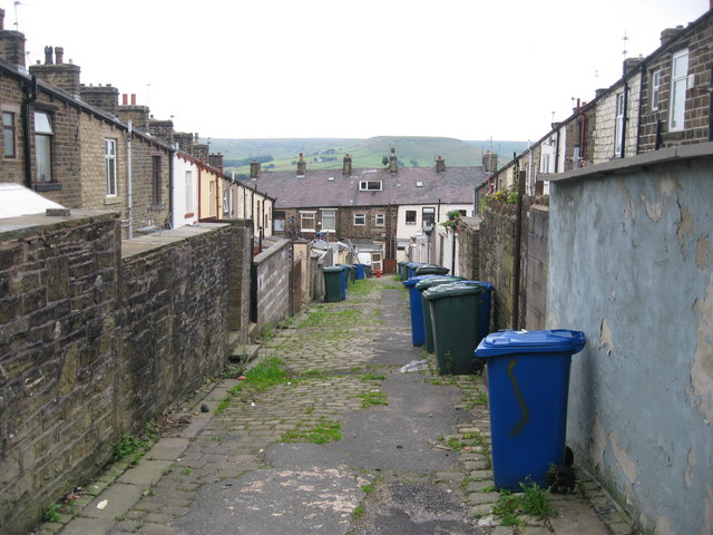
Image: © Paul Anderson Taken: 14 Jul 2008
The rear access to these houses on North Street and South Street in Haslingden has changed very little since they were built over 100 years ago. The hill above the chimney tops is Image
Images are licensed for reuse under creativecommons.org/licenses/by-sa/2.0
Image Location


Leaflet Map data © OpenStreetMap
Latitude
53.696809
Longitude
-2.317409