Footpath realignment
Introduction
The photograph on this page of Footpath realignment by Jonathan Billinger as part of the Geograph project.
The Geograph project started in 2005 with the aim of publishing, organising and preserving representative images for every square kilometre of Great Britain, Ireland and the Isle of Man.

There are currently over 7.5m images from over 14,400 individuals and you can help contribute to the project by visiting https://www.geograph.org.uk
Footpath realignment
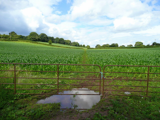
Image: © Jonathan Billinger Taken: 11 Jul 2008
From the impassible stile at Image, a few yards up the road, the walkers of South Herefordshire now use this gate to walk the mile or so of public footpath to Lea.
Images are licensed for reuse under creativecommons.org/licenses/by-sa/2.0
Image Location
Latitude
51.887714
Longitude
-2.508933