Flint Street, Haddenham
Introduction
The photograph on this page of Flint Street, Haddenham by Ed Andrews as part of the Geograph project.
The Geograph project started in 2005 with the aim of publishing, organising and preserving representative images for every square kilometre of Great Britain, Ireland and the Isle of Man.

There are currently over 7.5m images from over 14,400 individuals and you can help contribute to the project by visiting https://www.geograph.org.uk
Flint Street, Haddenham
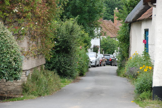
Image: © Ed Andrews Taken: 14 Jul 2008
This street was called Duck Lane until the middle of the C19 when a resident held an office which enabled him to get flints put down on top of the mud. The name was changed accordingly.
Images are licensed for reuse under creativecommons.org/licenses/by-sa/2.0
Image Location
Latitude
51.765791
Longitude
-0.928213